| South to Humason Brook Trestle | See the map | North to The Mountain |
|
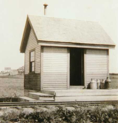
Alna Center was the WW&F's second station on the line, after Sheepscot Station. Like Sheepscot, this station was also a flag stop, servicing the center of town, about a half mile to the east. The station here was built identically to Sheepscot station, a simple one-room building. The station was thought to be originally located in another location, about a mile further north. It was then moved to the location it was known to be at in later years, milepost 6.4, on the east side of the tracks. Some time after abandonment the station was moved again to the west, off of the right-of-way, by some area children. The remains to this station were found in late 1999, and in October 2000 some of the interior sheathing was removed for preservation.
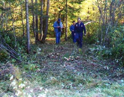
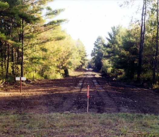
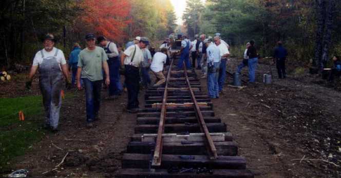
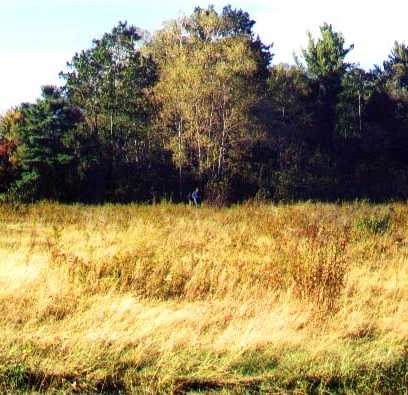
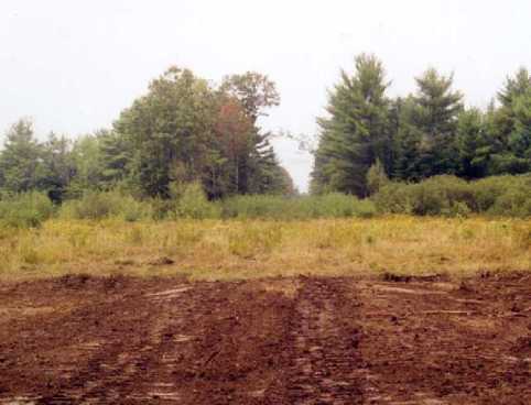
Prior to the clearing of the right of way between Humason Brook Trestle and Alna Center in the winter of 2000, the roadbed was overgrown and difficult to follow. Track was laid all the way to the station site in 2003. The area where the station sat used to be a field many years ago, next to the Averill Road, a long-discontinued town road. Parts of the road and field have grown in with trees since then, but the right-of-way still passes through a good sized field right to the north of the original site.
The new station was built in 2004 on the site of the old station, as near to the original plans as modern code allows. A half-acre piece of property was purchased across the track from the station; this will eventually become a stone storage area as well as a home for a steam-powered sawmill. A run-around track was completed in 2005, which allows locomotives to run around the train. Track continued north.
Averill Road was restored to service by the Museum for railroad use, so that trucks can get in with stone.
 |
 |
 |
It's a nearly steady uphill climb going north from Wiscasset until the railroad reaches Alna Center. The station is actually at the top of the grade, before the railroad dips back down toward the Sheepscot River. However, this is not considered to be the location known as the "Top of the Mountain." That location is nearly a mile further north.
 |
 |
 |
Directions to Alna Center Station: take Rt 218 to Alna, park at the fire department building. Walk north, over the hill and turn left (west) on the other side at a road that goes into the woods. This is the Averill Road. Walk for about a third of a mile, and you'll be there. The Averill Road is a discontinued town road, so it's actually private property. Driving in is discouraged.
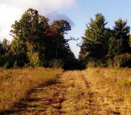
Right of Way status: From the south, there's track on it. From the north, track continues about another quarter mile, over the crest of the hill. For about a half-mile north beyond that, the right of way has been cleared of trees. Further north, there's a narrow path through the trees.
Other Railroad Memorabilia in the area: the occasional spike, joint bar, or track bolt.
| South to Humason Brook Trestle | See the map | North to The Mountain |